Surveying and Inventory to Support Modeling Efforts for Growing City
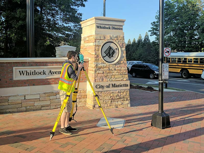
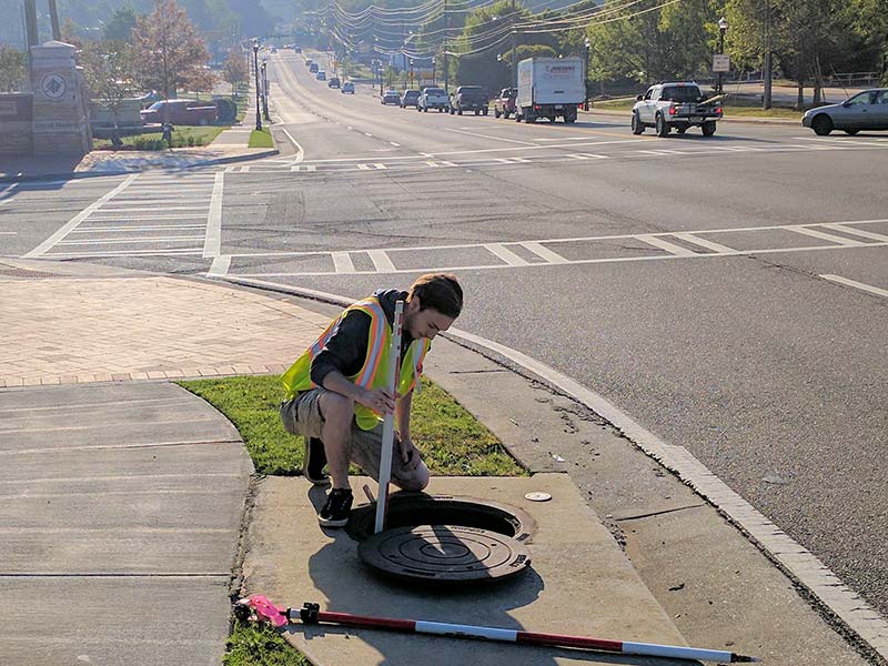
Croy is providing GPS, GIS, and surveying services related to data collection for the stormwater system structures located in the City of Marietta’s right-of-way. The City of Marietta encompasses approximately 23.2 square miles and includes approximately 6,000 storm structures (not counting several detention ponds). The inventory data is “survey grade” quality; subsequently, this data will be used for modeling at the completion of the inventory process.
This first phase of the project included the inventory of all major storm structures within public right-of-way. Phase II will include approximately 2,000 off-road storm structures (those structures outside the road right-of-way). Inventory data included both horizontal and vertical data, based on Georgia State Plane datum.
Phase II will consist of mapping the location of the outfalls within the City limits; how the outfalls are connected to the system within the City right-of-way will then be incorporated in the Phase I mapping.
Project Details
Location
Marietta, Georgia
Project Highlights
- GPS, GIS, and surveying services
- 23.2 square miles within the City limits
- Two-phased project
Capabilities Provided

![]()