City-wide Surveying Efforts Support GIS Database Creation and System Modeling
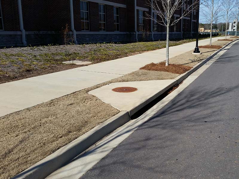
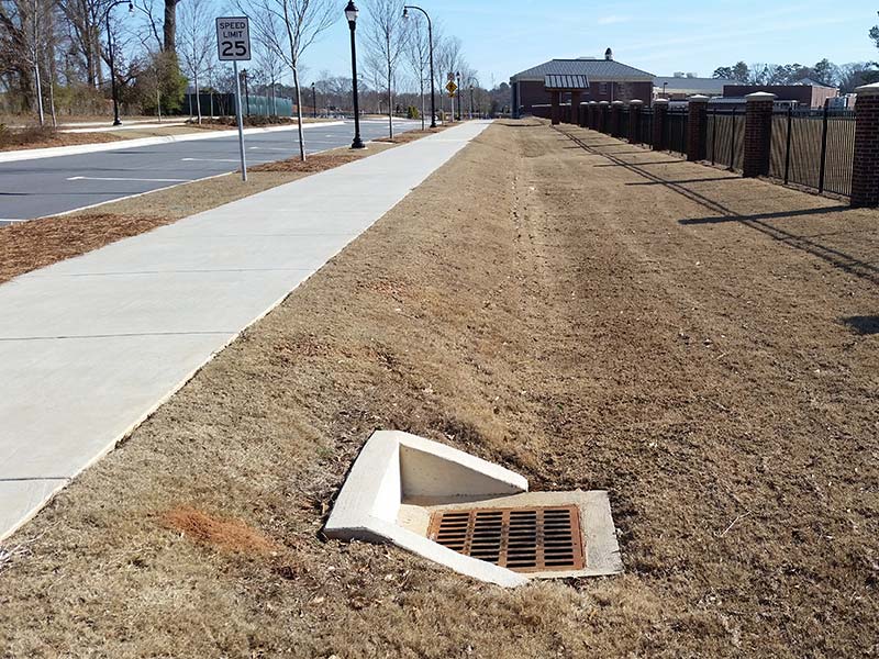
Croy provided GPS, GIS, and surveying services for the data collection effort for the water, wastewater, stormwater, traffic, and fiber networks within the City limits of Smyrna. The City of Smyrna encompasses approximately 15.1 square miles and includes 10,400 storm structures, 150 miles of waterline, 21,000 water structures, 5,000 sewer structures, 180 miles of sewer line, and more than 11,000 traffic control devices. The inventory data was collected, entered into a GIS database, and used for modeling of the surveyed systems.
Our Croy team also provided the necessary statistical data needed to assist in the production of the City of Smyrna’s MS4 Annual Report. Our team conducted the methodical field inspection of a percentage of the individual permanent stormwater control structures. The field inspection results were noted and a monthly report was created and distributed accordingly. Any possible environmental or safety concerns were immediately brought to the attention of the appropriate City staff. Utilizing the field inspection reporting and the ever-growing extensive GIS stormwater structure inventory data, our Croy team was able to identify and provide the required information for the requested reporting period.
Project Details
Location
Smyrna, Georgia
Project Highlights
- GPS, GIS, and surveying services
- 15.1 square miles within the City limits of Smyrna
- Assisted in the production of the City’s MS4 Annual Report
Capabilities Provided

![]()